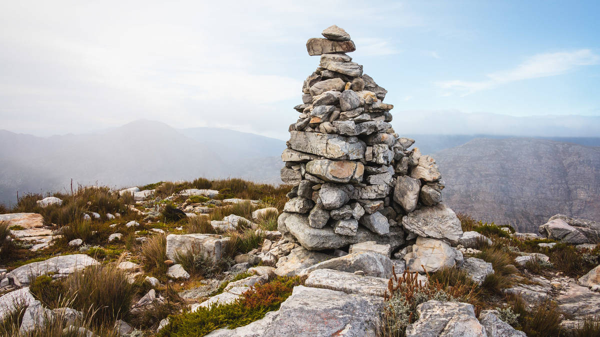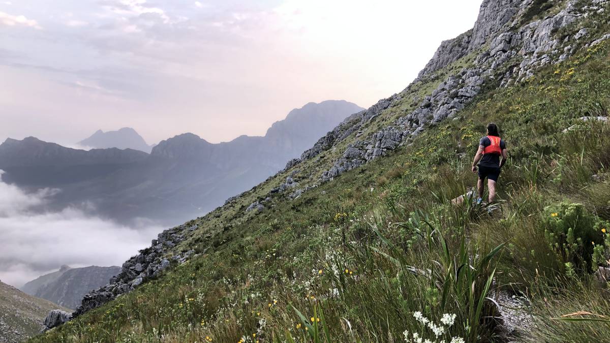
The circular Perdekop Trail rises 850m from its starting point to peak halfway at Perdekop, 1 575m. Perdekop is the highest point in the Mont Rochelle Nature Reserve. This route description assumes a clockwise hike but the trail can also be hiked in an anticlockwise direction.
From Perdekop Peak the footpath steadily descends in a southerly, south-westerly direction. The last stretch includes a very steep descent into the Du Toit’s River gorge, and a steep climb back up. From there it is a short walk back to the gate.
Difficulty: Moderate-Difficult
Mont Rochelle Hike Duration: 6-7 hours
Hike Distance: About 13 km / 8 miles
Expert Guide
Coffee, Tea & snacks
History of the Valley
Fauna & Flora
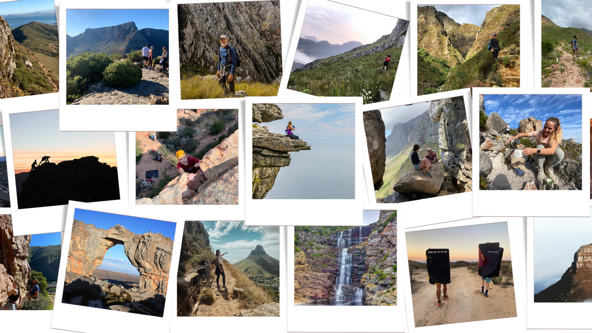
Plenty of photo opportunities
You’ll need a sense of adventure and a willingness to have fun which is all hiking is about really.
Customer reviews of this service will be posted soon.





© 2026 Tornado Tour Systems (Pty) Ltd ta Activitar.